Customized standards, staff training, and BIM optimization to enable seamless Digital Twin integration
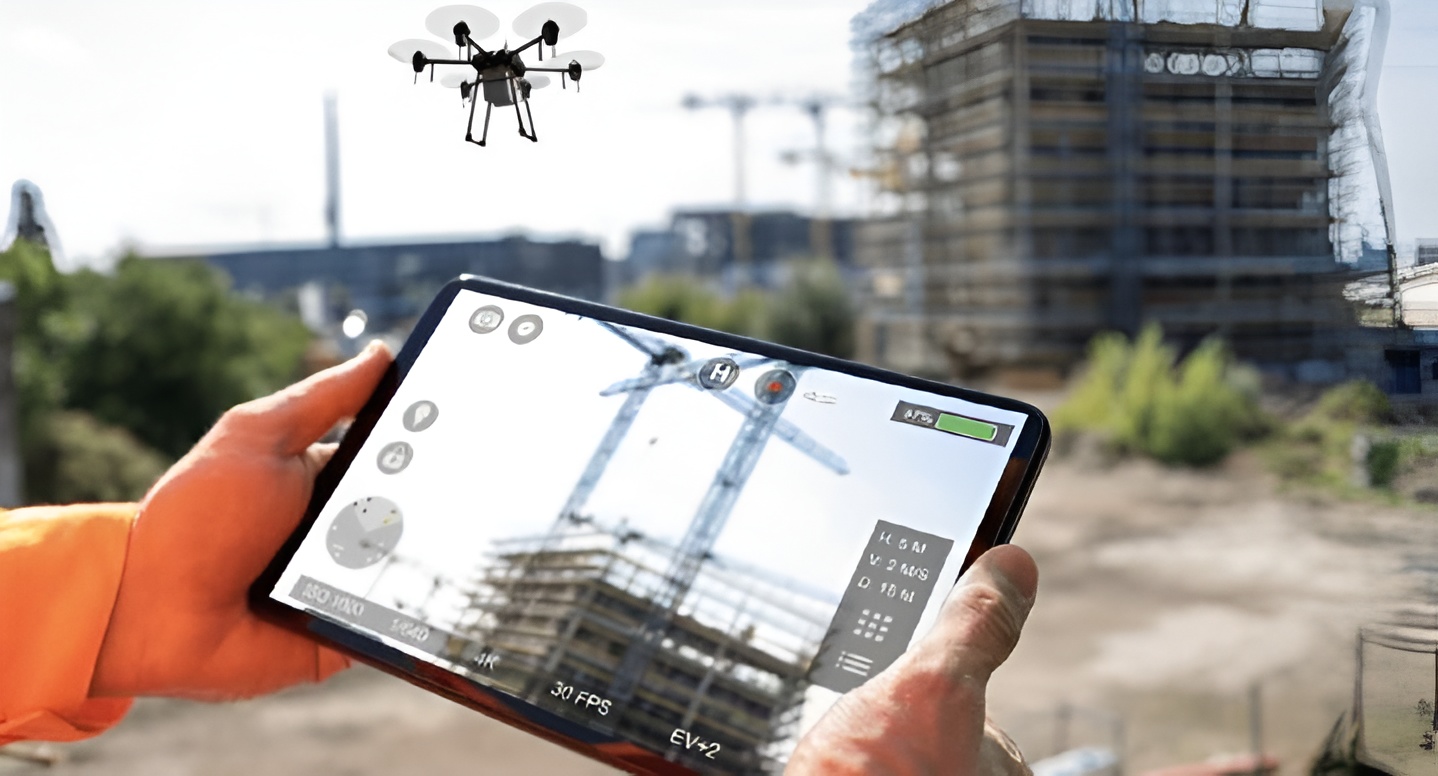
Drone Scanning Services
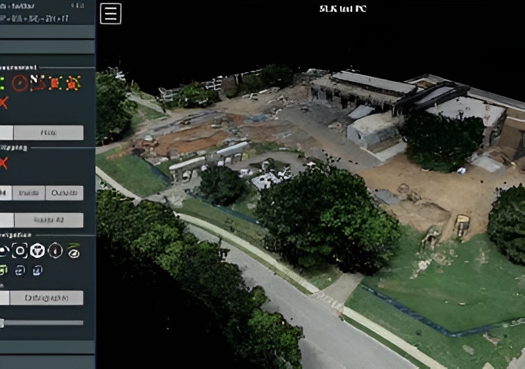
Expertise in Precision Surveying and Digital Modeling
We are specialized in leveraging advanced Unmanned Aerial Vehicles (UAVs) equipped with highresolution
photogrammetry and LiDAR technology. This allows us to rapidly capture highly accurate data,
from site surveys to detailed inspections, providing a comprehensive aerial perspective. We translate this
raw data into valuable deliverables, including detailed 3D point clouds, realistic digital twin models to give
our clients unparalleled accuracy and a competitive advantage.