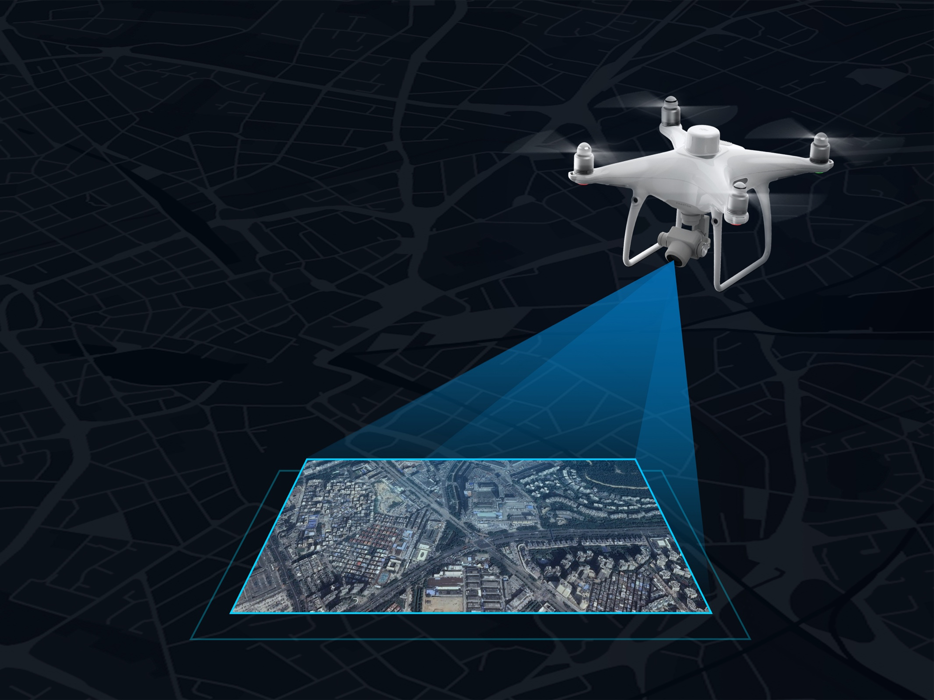
Harnessing precision drone technology and LiDAR laser scanning, we capture accurate site data that informs better decisions from day one. Our aerial surveys deliver high-resolution topographic maps and 3D point clouds — faster and more accurately than traditional methods.